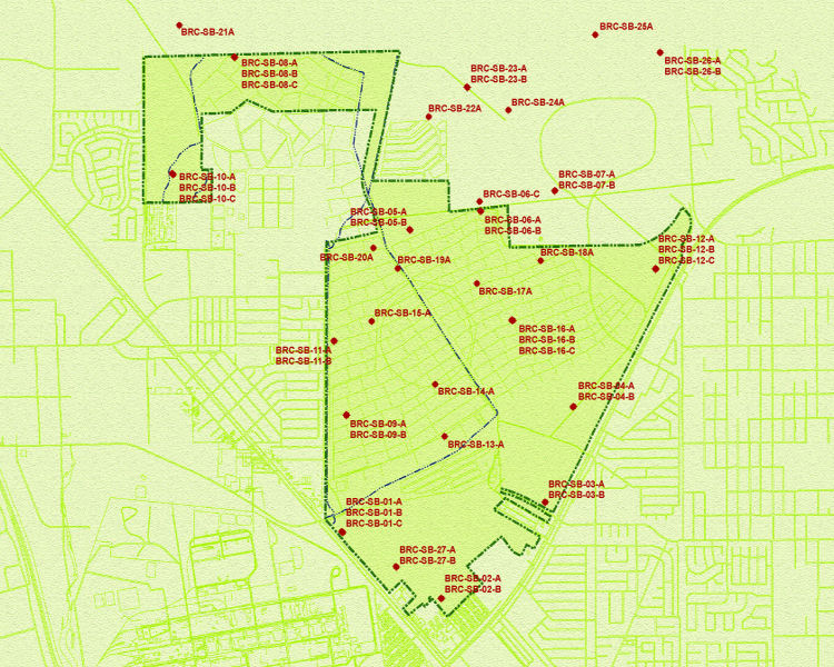
2004 Hydrogeologic Investigation Boring Logs
This map shows where borings were drilled across the site during the hydrogeologic (groundwater) investigation conducted in 2004. Click on a Boring ID to open a PDF of the boring log for that location. Some of the images/Boring Logs contain geophysical information which results in a large file size.